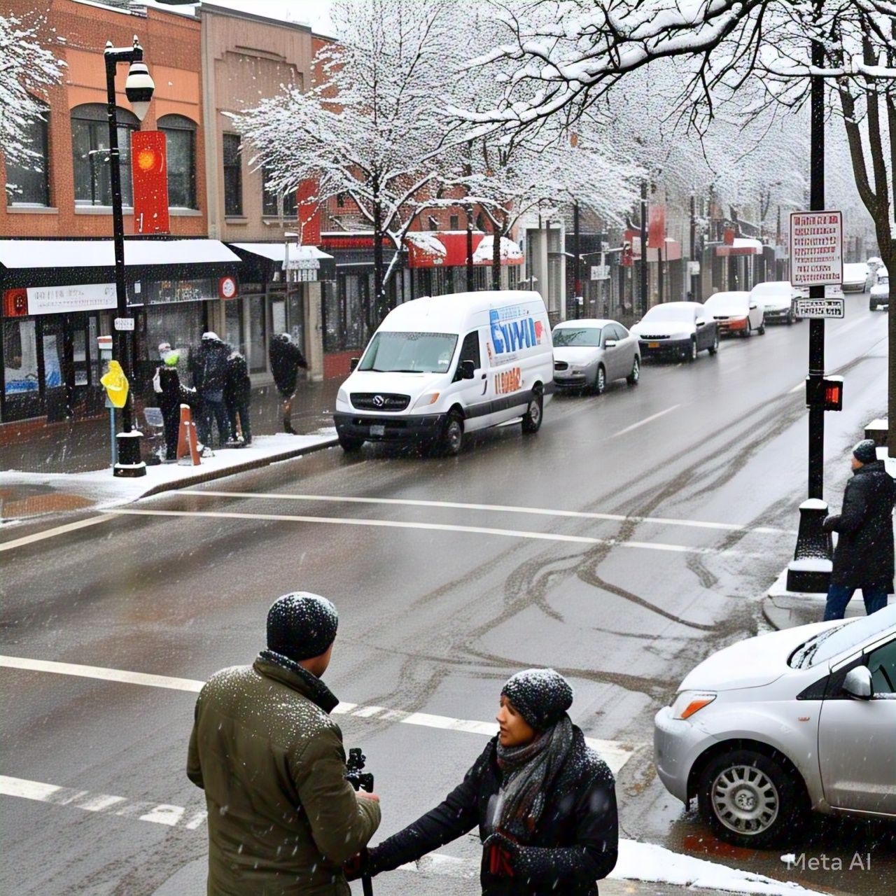
As winter seems to be ending, it has taken an unexpected turn, bringing a mix of snow, freezing rain, and thunderstorms to the Waterloo Region. The forecast for Wednesday is complex, with significant temperature fluctuations and multiple weather conditions.
Weather Timeline
-
Morning: Inclement weather is expected to begin around 8 a.m., with approximately 2 cm of snow and ice pellets forecasted.
-
Midday: By 12 p.m., the snow will transition into freezing rain, potentially leading to about 4 mm of ice accumulation on surfaces, including roads.
-
Evening: Heavy rain is anticipated from 6 p.m. until Thursday morning, accompanied by possible thunderstorms.
Weather Alerts and Impacts
Two weather alerts are currently in effect from Environment Canada: a rainfall warning and a freezing rain warning. The high volume of precipitation may lead to flooding in low-lying areas.
Regional Impacts
-
School Cancellations: In Guelph, school buses have been cancelled across all zones, including the city and Wellington and Dufferin areas. However, no cancellations have been announced for the Waterloo Region.
-
Temperature Shift: Temperatures are expected to rise significantly by Thursday, potentially reaching as high as 17°C.
According to Meteorologist Jill Taylor from 570 News, the repeated storms over the same area can quickly accumulate rainfall totals, and even old thunderstorms can contribute to the formation of new ones. Residents are advised to stay informed and prepare for potential disruptions due to hazardous travel conditions and power outages.


